Walking the Exe: The Headwaters

A Westcountry River Story

This summer we will be following the adventures of Arthur Fuest as he makes his way along the  River Exe. Check in regularly to see what how he is getting on!

Arthur Fuest

Arthur Fuest

It has been a remarkably dry year even in the West Country but typically, the week I decided to walk the Exe, a month’s worth of rain fell. So obviously I decided that dryer weather would mean I could get pictures! As I slogged up the hill from Simonsbath to Exhead, the sun appeared for the first time in a week and, feeling cheerful, I hunted for the source. Goal orientated walking is always more satisfying and walking the length of one of my favourite rivers felt like a real adventure.
I found the Exe cutting out of the peat. The spring bubbles out of an area of blanket peat, a habitat that forms part of the unique character of the River Exe. Since the restoration work began as part of the Exmoor Mires project, the peatland has slowly returned to its original boggy state, a haven for aquatic invertebrates and many birds. The headwaters of the Exe are crucial to the workings of the whole system and being able to witness the result of over a decade of hard work was very special.

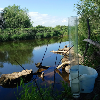
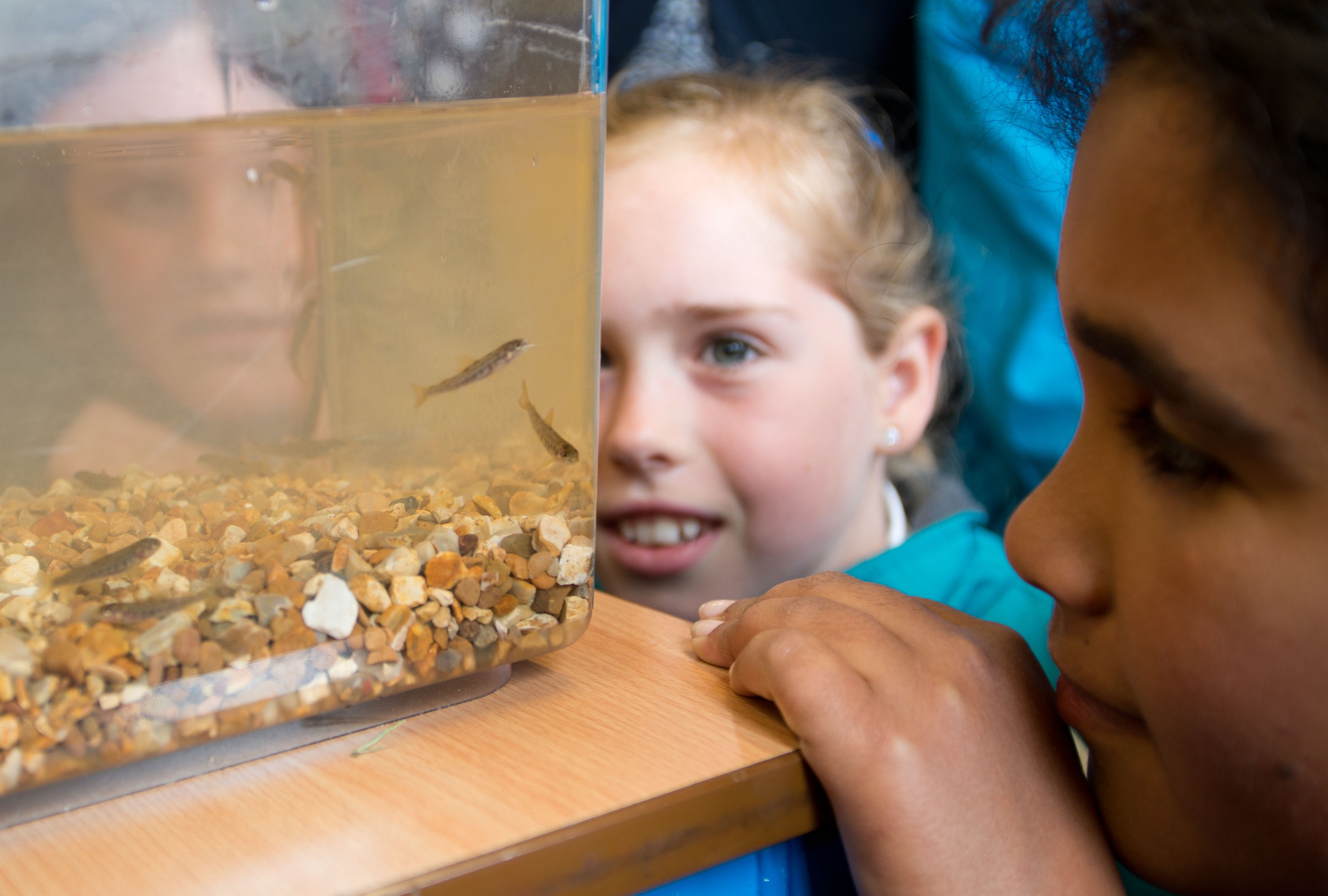
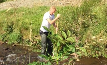
Before setting off I completed the first of my Citizen Science Investigations (CSI), checking the turbidity, total dissolved solids and the phosphate content of the water. The data collected from these observations, as well as assisting in the work of the Westcountry Rivers Trust, would hopefully add to my story of the river.

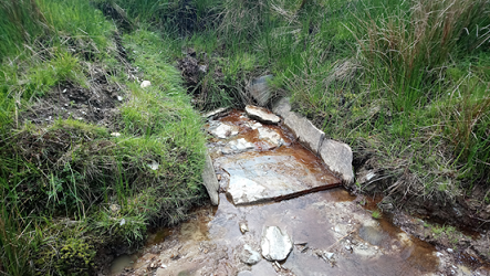
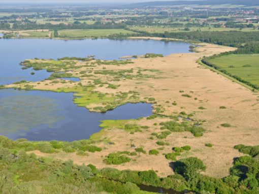
The Exe coming out of the peat

The stream quickly cuts into the hill, forming a steep sided valley interlocked by spurs, each adding tributaries to the Exe. Following the Exe through moorland should be easy as access is unrestricted, however the steep slopes, gorse and small back channels meant that getting my feet wet was inevitable.

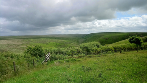
The River Exe cutting through the moorland
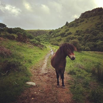
Tired and wet I arrived in at Westermill campsite, where the river first runs off the moors onto pastoral land. About 5 metres wide at this point, the river valley has started to flatten and reveal a flood plain populated by sheep and campers. A short walk on and I entered Exford and, glad of a rest, stopped in at the White Horse Inn.
From here the river winds its way through steep sided hills dotted with remote hill farms through Exford and onto Winsford. These steep and heavily wooded slopes are home to a large amount of wildlife and walking alone meant that I was able to encounter many animals, including two very inquisitive Exmoor ponies.

Exmoor ponies

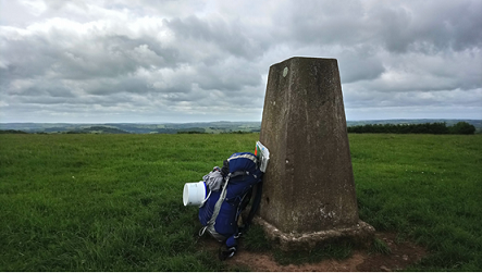
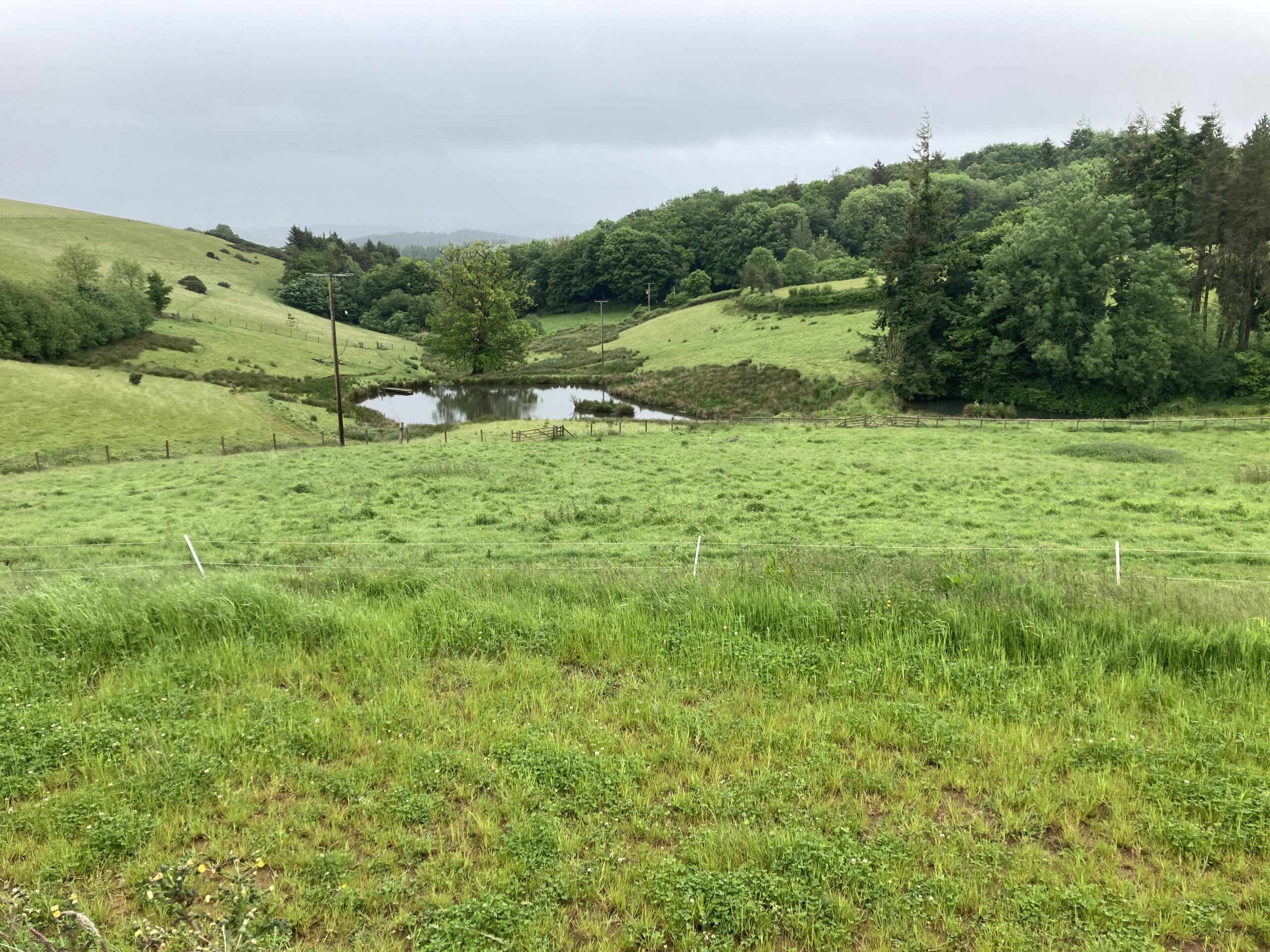
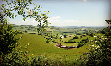
The Exe valley from Court Down (316 m) north of Dulverton

In order not to stray too far from the banks of the river I had packed a bivey bag and, as it got dark, I started looking for an appropriately quiet spot.  Just as the light was failing I found a comfy ledge up a steep bank and settled down for the night. Waking with the light, I opened my eyes to find a young fallow dear grazing metres from my head. I stayed very still and, as it moved off, a fox wandered past. Enlivened by these encounters, I set back off along the banks of the Exe.

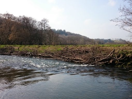
From Winsford I encountered the first black spot in public right of way so I hop-footed it over to Dulverton to meet the River Barle and the start of the Exe Valley Way. Crossing over into the neighbouring valley gave me the opportunity to see the beginning of the Exe’s middle reaches and the valley beyond. Looking back I could see the moors draining into the river Exe and Dunkery Beacon, the highest point on Exmoor, in the background.