–
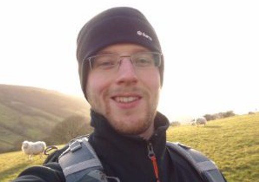
James Gilbert
Data & Evidence Officer
Working life behind the scenes…
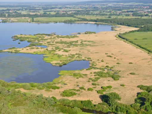
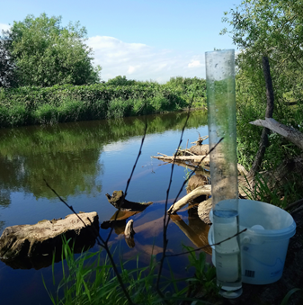
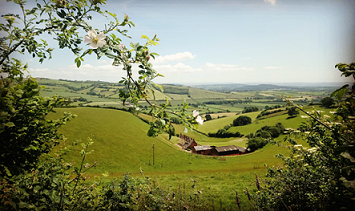
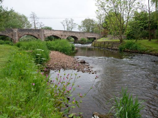
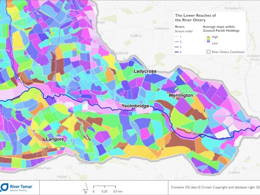
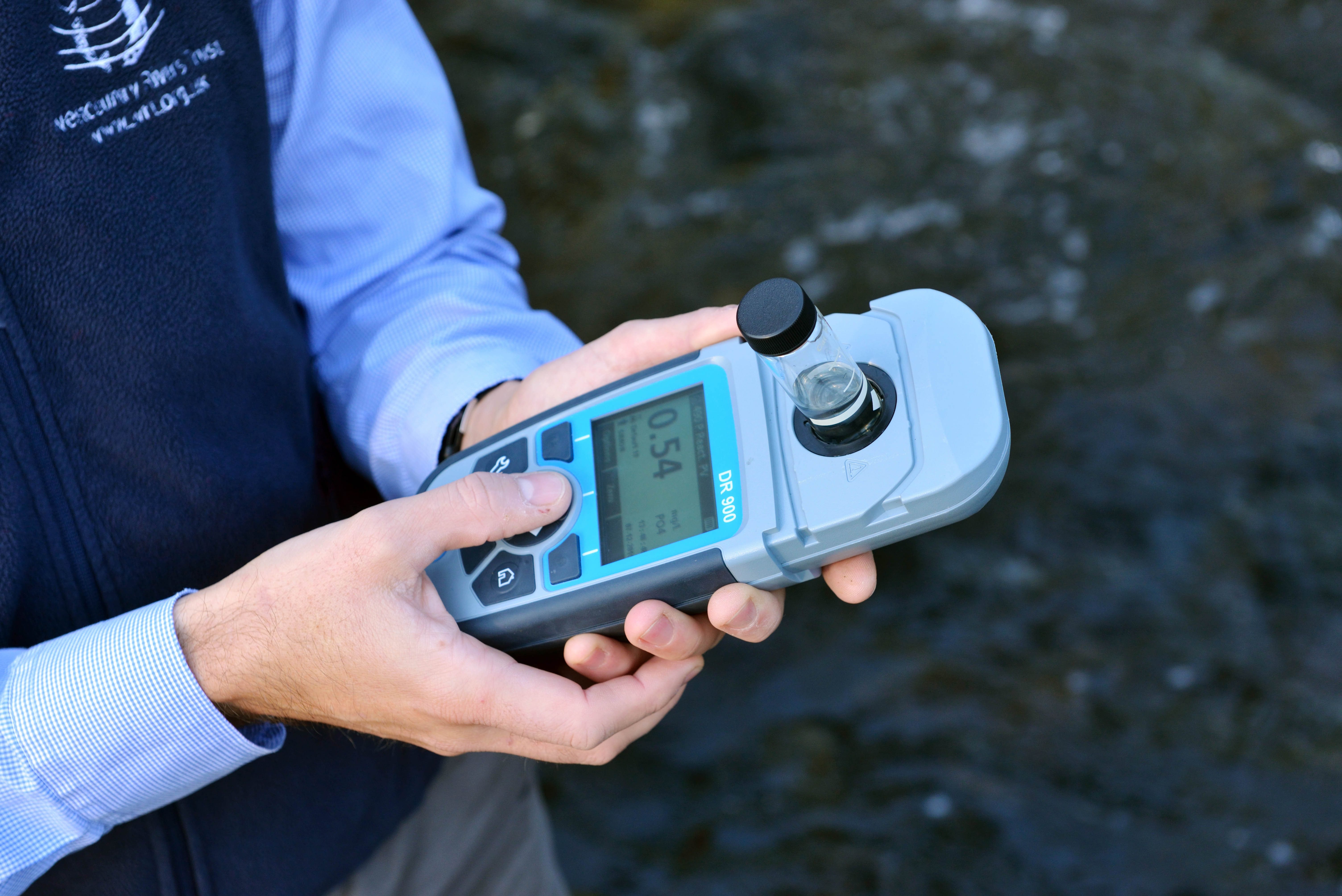
My role as a ‘Data and Evidence Officer’ is to analyse, visualise and interpret environmental data – sometimes I even get out of the office to collect the data myself! I see myself as a ‘Catchment Scientist’ as I am concerned with all spheres of a river’s catchment; from rainfall, to soils and vegetation, urban areas, natural habitats, and species of all kinds. A useful tool to help me both analyse and visualise this spatially (and often temporally) distributed information and data is known as GIS (Geographical Information System). A Geographical Information System enables me to represent the position of any data on the Earth’s surface and to perform analytics. After interrogating the data I can use the computer system to generate a map – I guess you could call me a cartographer in this situation, although I don’t see myself as that artistic. A map demonstrating analysed environmental data is a simple and effective way of quickly interpreting and most importantly telling a story of a specific area. I started using GIS and generating maps at university and have since progressed from placing pretty lines and dots on a simple Ordnance Survey base-map, to generating landcover data from satellite imagery.
Find out more about the work of Westcountry Rivers Trust...
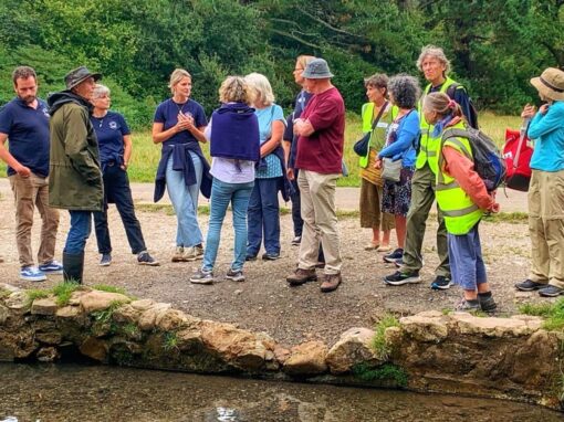
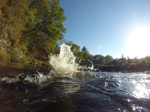
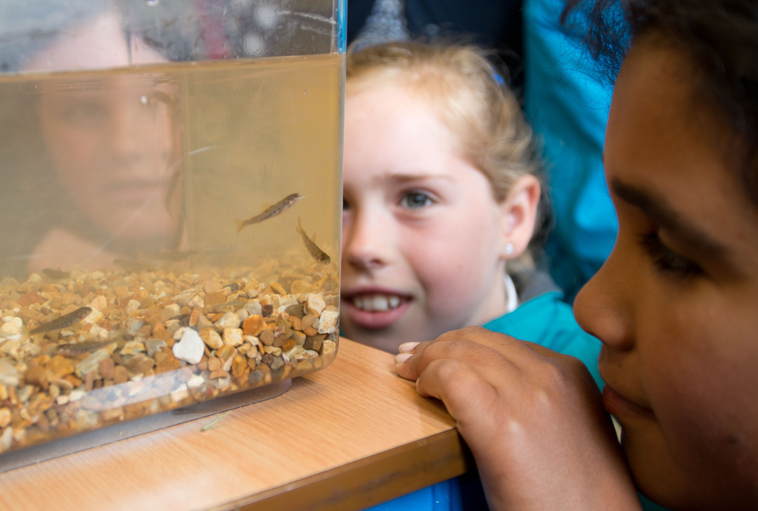
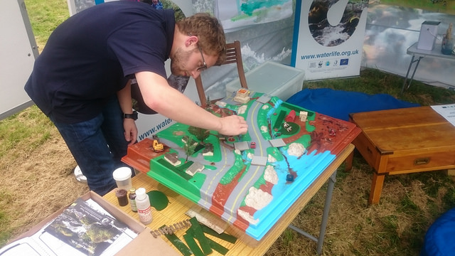
In my opinion, the biggest challenge rivers face is the lack of engagement from the wider public. There is a disconnect between where people perceive their drinking water coming from and waste going to and furthermore a lack of understanding concerning the health of our riverine ecosystems. Equally remedying this is one of the biggest challenges a ‘Data and Evidence Officer’ can face – interpreting and presenting information in an appealing and engaging way in order to facilitate knowledge transfer.
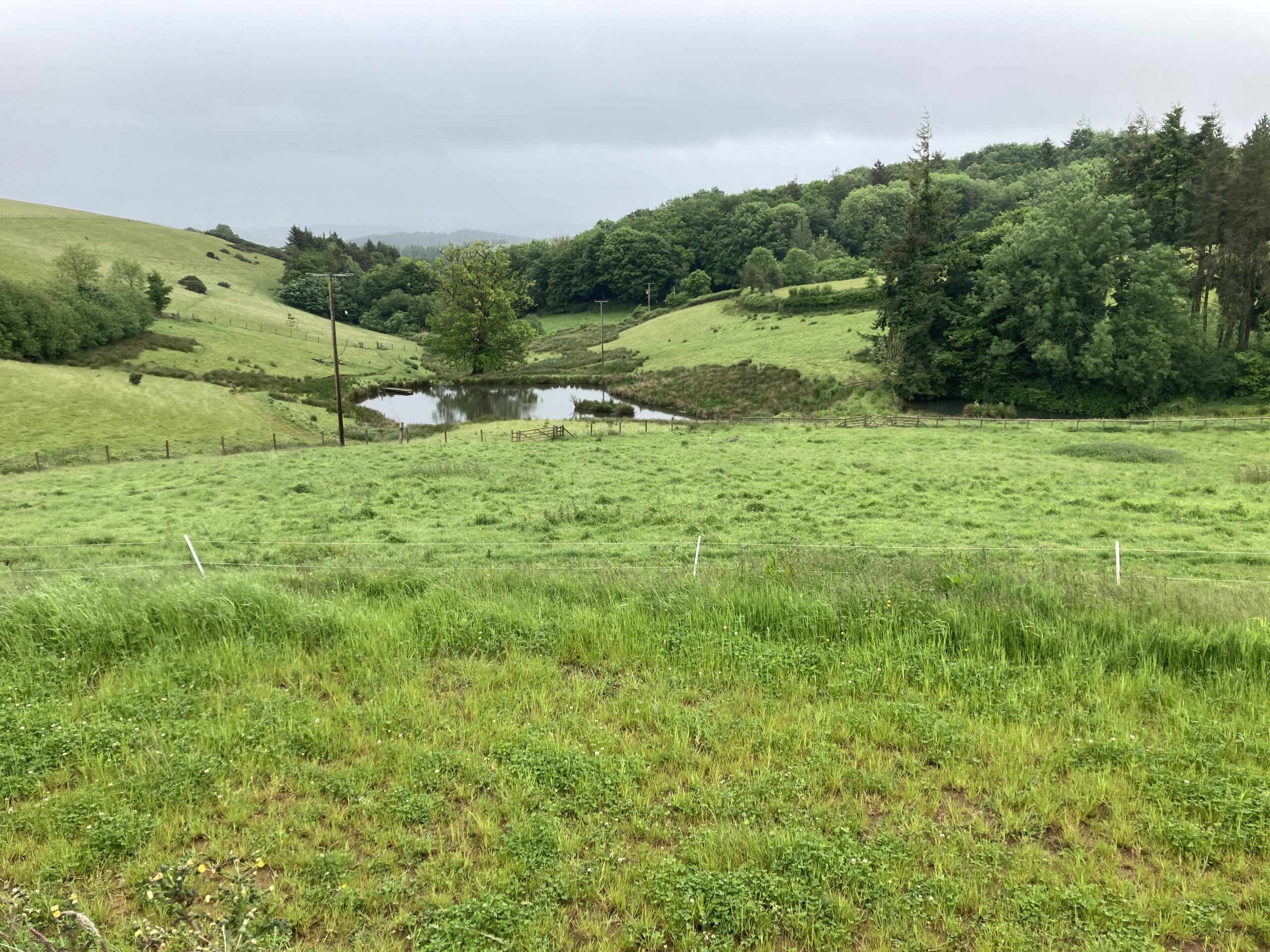
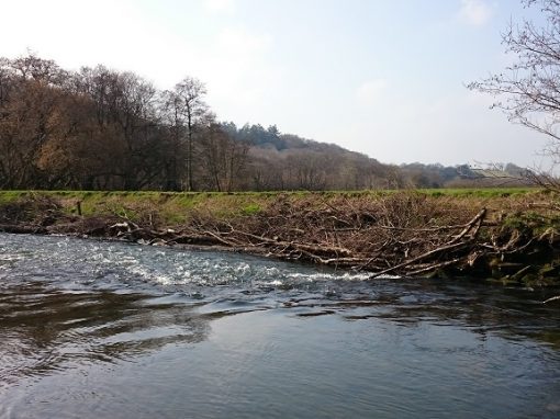
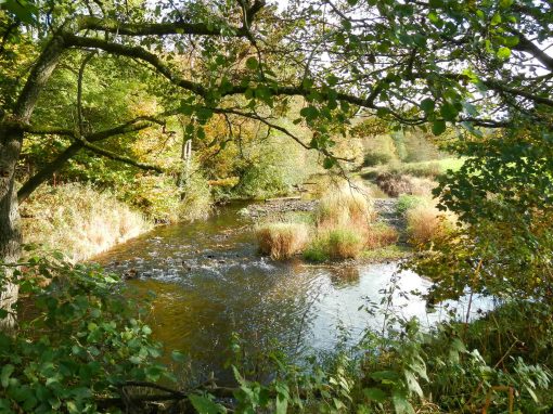
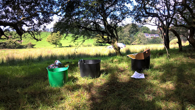
“Perhaps one of the best things about my job is the fact that I do quite frequently get out to collect data myself, but am also sometimes tasked with interpreting that same data – it’s my job to tell the story of a beautiful piece of countryside I have just visited not only through showing people pictures, but by sharing detailed scientific information about it.”
Other Westcountry River Stories