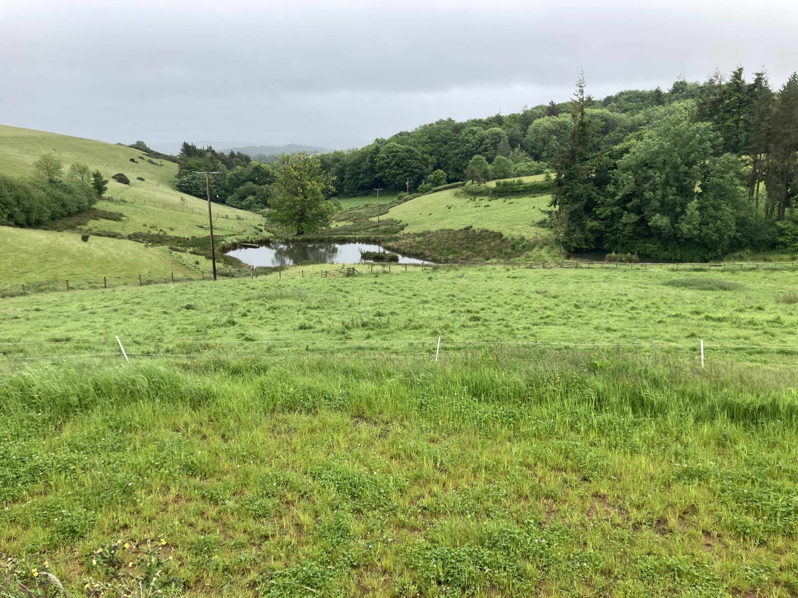
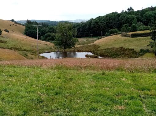
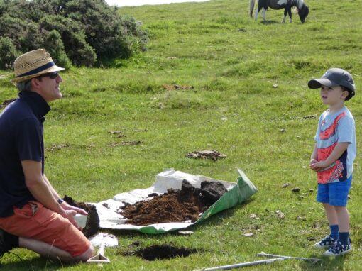
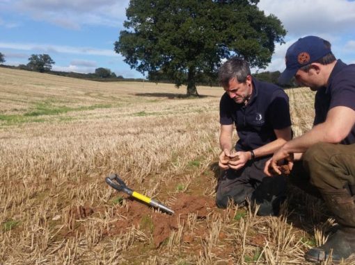
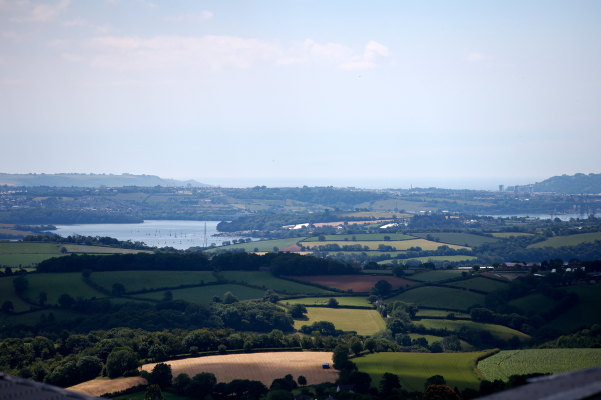
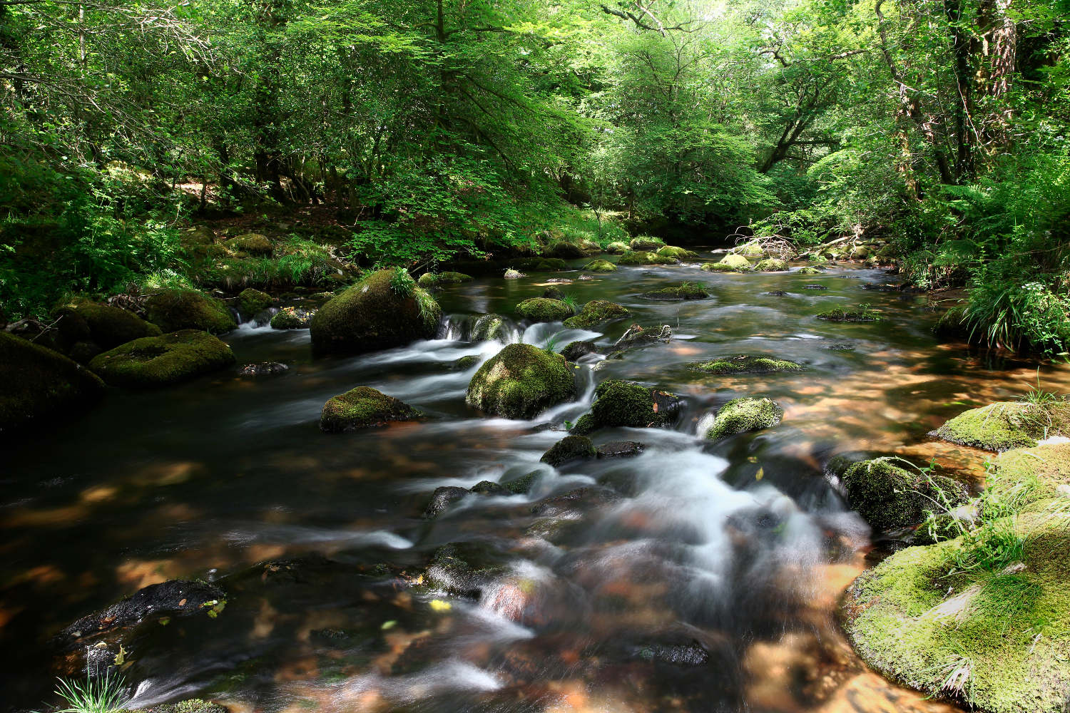
- Diatom & walkover survey
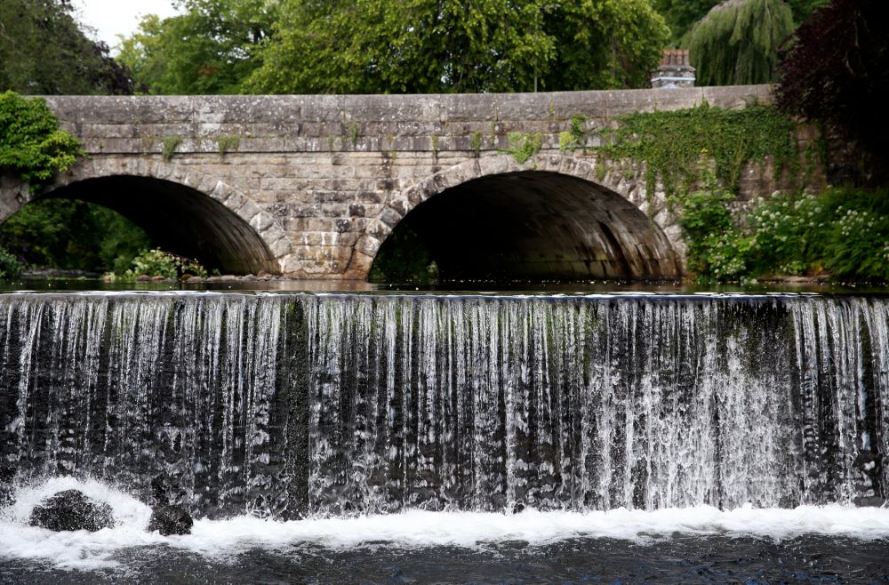
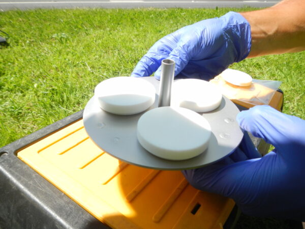
- Monitoring water & sediment chemistry in the main river channel
- Assessing water chemistry against environmental quality standards (EQS)
- High spatial resolution monitoring of water chemistry to identify key contaminant pathways
Diatom samples suggested that sites were not heavily impacted by nutrients from sewage treatment works or agricultural sources.
The WRT walkover survey did not detect factors likely to specifically impact upon brown trout, further emphasising the need for chemical data.
- Elevated concentrations of road-related metals such as lead and zinc were found in water and sediment. Storm sampling using automatic water samplers and conductivity monitoring showed an early flush of solutes in the main channel below road drains.
- Concentrations of zinc were above EQS (biotic ligand model-derived) potentially owing to road drainage inputs and drainage from an historic mine site.
4.Detailed spatial sampling showed elevated dissolved concentrations of metals below road drainage inputs, particularly lead, with values above EQS. It is possible that the legacy of sediment-bound lead in the channel bed is a source of lead to the water column under certain environmental conditions.
WRT is instigating remedial works to focus upon a drainage attenuation pond and flow regulation in the existing drainage gullies. Mitigation will also be considered for the historic mine site given its potential for longer-term, chronic metal inputs.
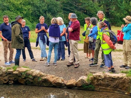
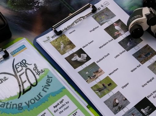
Other Data & Evidence Activities