 The Westcountry Rivers Trust, in collaboration with DEFRA and the Rivers Trust, has developed a method for undertaking stakeholder-led spatial visualisation of ecosystem services provisioning areas across a catchment landscape. During this participatory process, primary, secondary and tertiary stakeholders and technical specialists work with a broker/facilitator to collate and scrutinise all of the data and evidence relating to environmental infrastructure and ecosystem services provision for their area of interest.
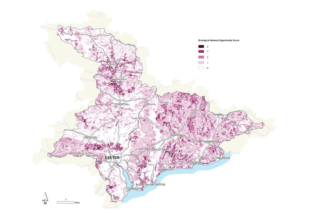 Once the evidence has been evaluated, the partnership then works to develop a series of conceptual models or ‘rules’ that can be used to define areas of the catchment most likely to play a critical role in the provision of the different ecosystem services, singly or in combination. These priority areas are locations where a programme of measures may realise the greatest enhancement in the provision of multiple ecosystem services.
Fundamentally, this is a data visualisation and evidence exploration process that facilitates the development of a shared vision and language in a catchment group.
We first developed this approach to visualising ecosystem services provision with the Tamar Catchment Based Approach (CaBA) Partnership in 2012. Since then, the approach has been adopted in four further catchments in the South West River Basin District and we are also working to assist two others. Furthermore, six catchments in the Severn River Basin District, the Ribble catchment in the North West River Basin District and two catchments in the Anglian River Basin District (the Cam & Ely Ouse and East Suffolk) have also used this approach in their catchment partnerships.
To view Ecosystem Services Visualisation Map Books and other WRT publications, visit our Isuu page here: http://issuu.com/westcountryriverstrust
Key Outcomes
1. Stakeholders typically come from a variety of backgrounds and initially have highly diverse levels of technical knowledge. This process allows them to develop a shared conceptual understanding of the issues that may be affecting their catchment and of where the priority and opportunity areas for the delivery of catchment management interventions may occur. Through an inclusive, participatory examination of the data and evidence, all stakeholders are engaged in the process and all can feel that their contributions are valued and have been considered.
2. The process also allows the stakeholders in the catchment partnership to develop a shared language with which they can discuss the problems within the catchment, identify where they are occurring and how they may best be overcome. The mapping process is, first and foremost, a conceptual framework to stimulate and facilitate the discussion and to help stakeholders visualise spatially the pressures and opportunities across their catchment.
3. The ecosystem services maps are built upon a full audit of the environmental data and evidence available for the catchment. They also give a clear indication of what interventions are already being delivered in the catchment, how these interventions are funded and where there may be deficiencies in this provision that is compromising the enhancement of ecosystem service provision. By showing which areas of the catchment may be important for the provision of ecosystem services, the individual ecosystem service maps and the combined map of multifunctional areas can then be used to facilitate the targeting, planning and delivery of catchment management interventions in the most integrated, balanced and cost-effective manner.
The Manual
Here at the Trust, we believe that the Participatory Ecosystem Services Visualisation approach could be of great utility to other catchment partnerships engaged in the Catchment-Based Approach. As such, we’ve created a manual where we have collated and presented a full inventory of the data and evidence sources that are available to be used, including details on data licencing, quality and suitability at different scales. The document includes some protocols to guide users through the data collation, processing and analysis processes.
The Rivers Trust has produced a ‘package’ of spatial data that has made pre-processed, nationally available data to support CaBA Hosts in their participatory catchment management planning processes. The aim of this data package is to increase the efficiency and consistency of data analysis and presentation/communication throughout the CaBA community.
Useful Link and Information
To find out about catchments in the South West, visit the South West Catchment Information Gateway: http://swcatchments.info/
To view Ecosystem Services Visualisation Map Books and other WRT publications, visit our Isuu page here: http://issuu.com/westcountryriverstrust
Twitter: @WestcountryRT Facebook: Westcountry Rivers Trust YouTube: WestcountryRiversTV