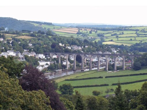
Ecological Spatial Training
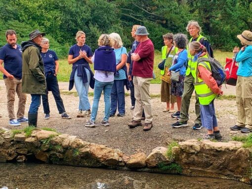
Westcountry Rivers Trust has developed and delivered numerous GIS training courses over the last 10+ years, including 2-day introductory and advanced courses, and bespoke 1-day sessions covering specialist topics. We have delivered training to people from a variety of sectors including environmental non-profits, academics and water companies. Using the knowledge and experience we have gained from 20+ years of mapping and data analysis in the environmental sector, we have designed courses that are relevant and useful for practitioners engaged in catchment management planning, landscape ecology, fisheries science, river restoration, ecology and conservation biology. We have taught skills that enable people to: access and interpret a range of spatial environmental datasets; understand the social and physical characteristics of an area: identify the issues, risks and opportunities for improvement. We are familiar with a range of GIS software, tools and applications. We can deliver training courses in-person or using remote video sessions. Please do not hesitate to get in touch if you would like to learn more.
Get in touch if you would like to discuss your GIS training needs or enquire about our upcoming GIS training courses.
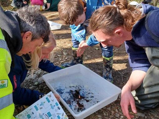
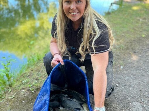
Other Data & Evidence Activities