–
The Power of Data & Evidence
Monitoring data, maps, environmental models, evidence and other data visualisations are a powerful and vital visual communication device for all environmental practitioners whether they are engaged in a research, regulatory, influencing or reporting role. Find out here how data and evidence are being used to inform environmental protection and restoration.
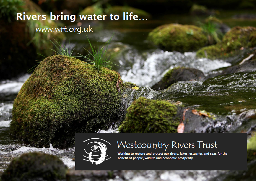
Rivers Bring Water to Life
Rivers are home to spectacular and precious wildlife and form a key part of our rich natural heritage…They are also great places for us to discover, interact with and enjoy the natural world around us.
Find out more about the work of Westcountry Rivers Trust...
What is GIS?
GIS – short for Geographic Information Systems – provides a powerful and flexible tool for the creation and management of spatial data, the presentation of accurate and effective maps, and for the production of spatial evidence.
Data & Evidence in Partnership
Nick Paling from WRT’s Evidence & Engagement Team gives an overview of how data and evidence can be used to inform and facilitate participatory catchment planning in catchment partnerships.
Ecosystem Services & Spatial Planning
This short film by the Westcountry Rivers Trust explains the importance of working together in partnership and assessing data and evidence collaboratively to deliver landscape-scale spatial planning.
Measuring Improvements in Water Quality
Animation exploring how the quality of water in rivers relates to the cost of drinking water treatment, how to find where water quality in degraded and how we evaluate measures to protect it.
Chemcatcher™ Passive Sampling
Science in Action! Not professionally made but hopefully informative, this is a film about our first foray with our novel Chemcatcher™ passive samplers on the River Fowey in Cornwall.
SCIMAP in Water Sensitive Urban Design
Video of presentation given by Nick Paling at the SCIMAP User Group 2016 on our recent use of the SCIMAP modelling framework to inform Water Sensitive Urban Design. MORE INFO.
Water Quality Risk Assessments
Angela Fells from our Evidence & Engagement Team describes how we use a ‘weight of evidence’ approach for undertaking catchment-wide pollution risk and source apportionment assessments.
Rapid Remote Sensing
WRT has been working with the Uni of Exeter to trial rapid, low-cost remote sensing technologies (with a specially developed smartphone app, a drone and Structure-from-Motion software).
Rivers Matter
We might not realise it, but our rivers, lakes and coasts inspire and sustain us all in our everyday lives.
They are steeped in our history, embody our natural heritage and will be a vital element of our future health and prosperity.
Our ‘Rivers bring water to life…’ brochure illustrates the importance of our watery places.