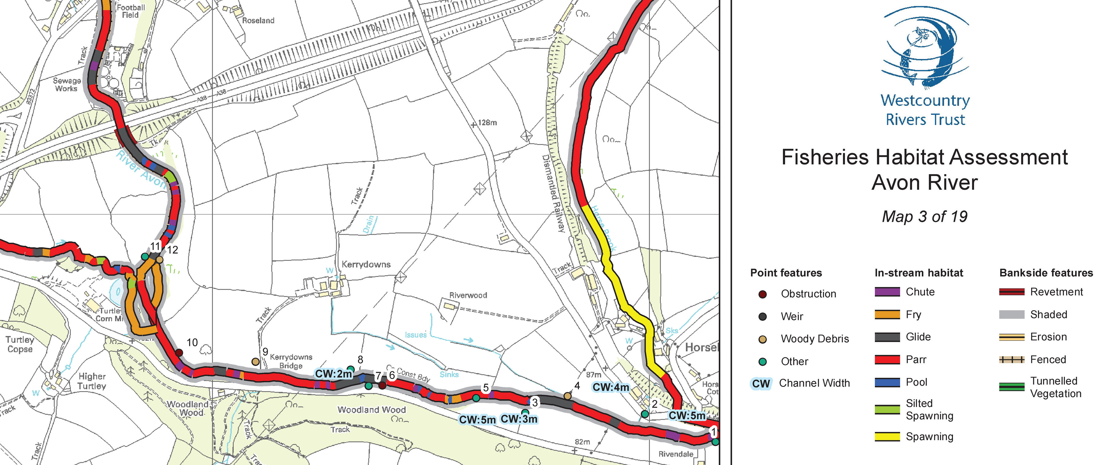
While there is now a wealth of data sources available to help characterise our river catchments and prioritise where to start tackling issues, there is no substitute to getting out on the ground and undertaking a walkover survey to properly understand the local environment. Ground surveys tend to capture the highest level of accuracy and resolution of environmental data, which is necessary for identifying specific problems and targeting measures. In addition, field work will provide an opportunity to begin engaging with local landowners and communities which will be essential for implementing any land use change. The objective of the fisheries walkover survey is to gather information about the location and extent of the various physical habitat features present along and immediately surrounding a river, so that an assessment can be made about habitat quality and quantity (in-stream & bankside)for fish (especially salmonids). This should allow factors which may be limiting productivity to be identified and recommendations made regarding habitat restoration techniques. The survey developed by the Westcountry Rivers Trust is adapted from the techniques outlined in the Environment Agency document Restoration of River Habitat: A Guidance Manual (Hendry & Cragg-Hine, 1997).