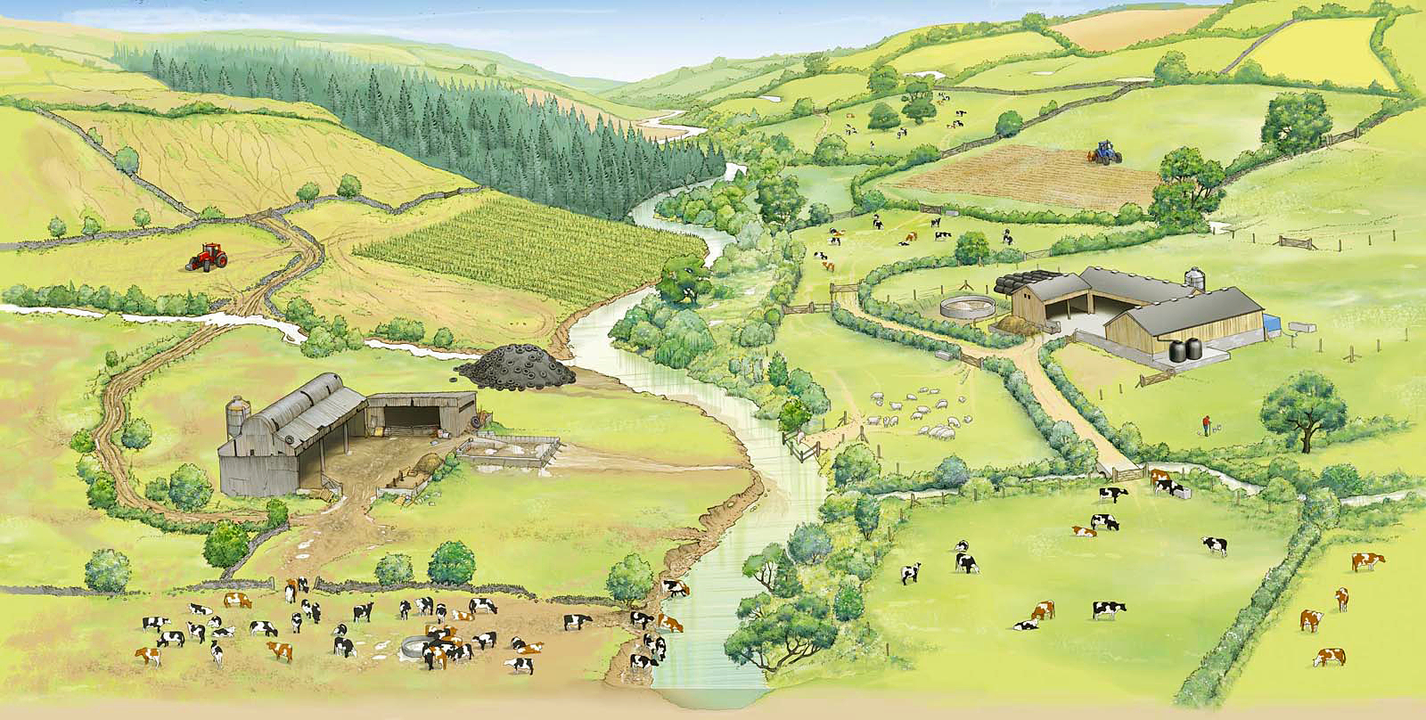
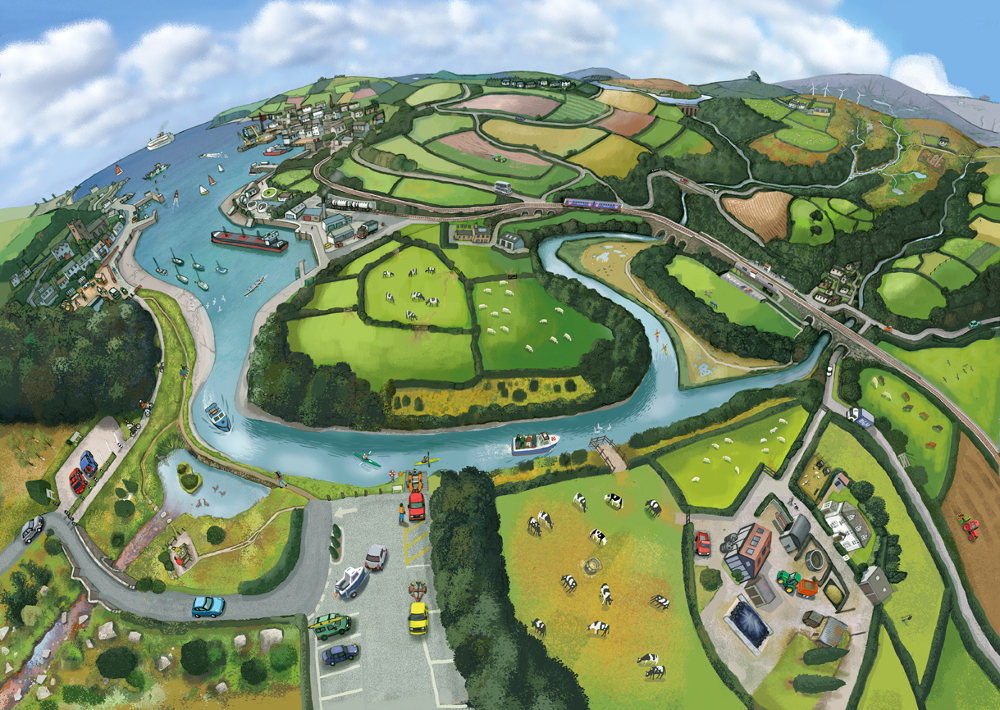
Ecosystem Services Visualisation
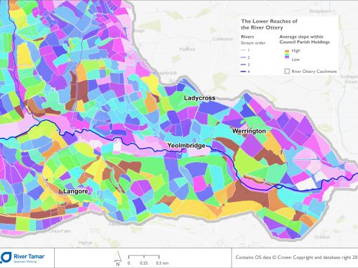
The Westcountry Rivers Trust, in collaboration with DEFRA and the Rivers Trust, has developed a method for undertaking stakeholder-led spatial visualisation of ecosystem services provisioning areas across a catchment landscape. During this participatory process, stakeholders (1°, 2° and 3°) and technical specialists work with a broker/facilitator to collate and scrutinise all of the data and evidence relating to environmental infrastructure and ecosystem services provision for their area of interest.
Do you want to map ecosystem services in your catchment..?
Methodology
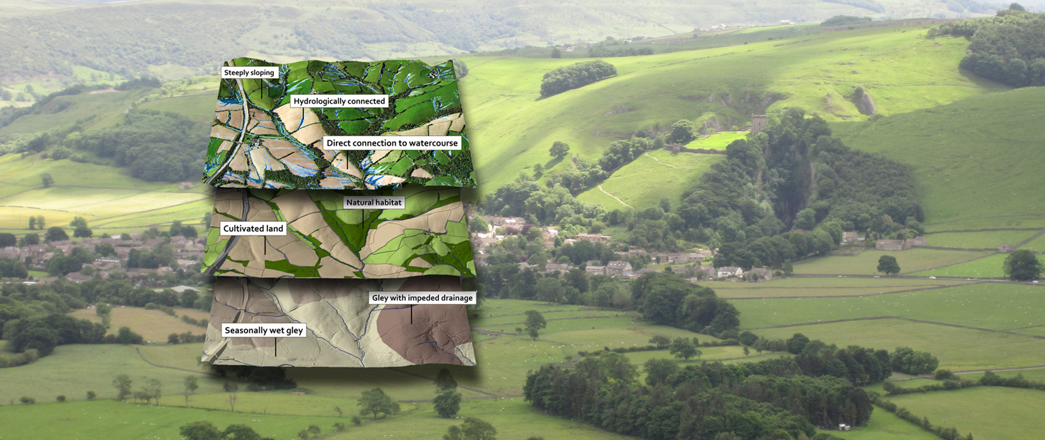
Once the evidence has been evaluated, the partnership then works to develop a series of conceptual models or ‘rules’ that can be used to define areas of the catchment most likely to play a critical role in the provision of the different ecosystem services, singly or in combination. These priority areas are locations where a programme of measures may realise the greatest enhancement in the provision of multiple ecosystem services.
Fundamentally, this is a data visualisation and evidence exploration process that facilitates the development of a shared vision and language in a catchment group.
The Evidence Review
All of the evidence created is then compiled into an evidence review that can be discussed with catchment partners and used to facilitate action planning.
Other Data & Evidence Activities