EcoSpatial Training
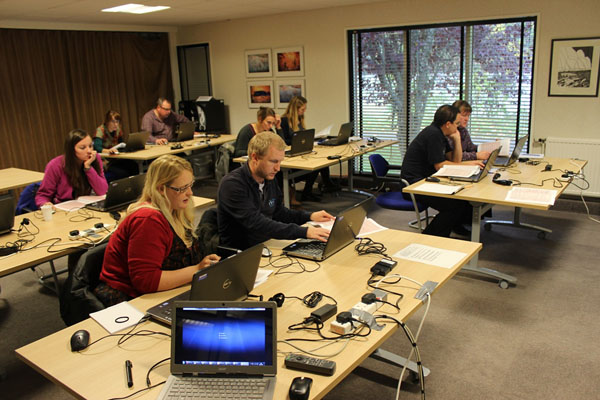
To meet the growing demand for subject-specific and relevant GIS training courses, Westcountry Rivers Trust has developed a series of intensive GIS short-courses. These are specifically tailored to develop and disseminate best practice and technical GIS skills in the use of GIS by practitioners engaged in catchment management planning, landscape ecology, fisheries science, river restoration, ecology and conservation biology.
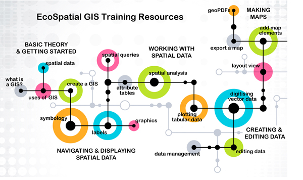
To support or enhance the delivery of face-to-face training the Westcountry Rivers Trust has also developed an online GIS training resource: EcoSpatial Training. Please note, this link is temporarily unavailable.
Do you want to turn spatial data into evidence using GIS....?
GIS Training Courses
The best way to encourage and facilitate the use of the spatial data in GIS applications is to train practitioners to develop their GIS and spatial data skills and, in so doing, build capability in their organisations.
To meet the growing demand for subject-specific and relevant GIS training courses Westcountry Rivers Trust has developed a series of intensive GIS short-courses. These are specifically tailored to develop and disseminate best practice and technical GIS skills in the use of GIS by practitioners engaged in catchment management planning, landscape ecology, fisheries science, river restoration, ecology and conservation biology.
GIS e-Learning Resources
To support or enhance the delivery of face-to-face training, we have developed an online GIS training resource, which presents a wide array of training and guidance information to people involved in catchment management planning, landscape ecology, fisheries science, river restoration, ecology and conservation biology. The e-learning resources developed will include:
- Video presentations of key theory and approaches
- Video tutorials and demonstrations of key techniques
- Webinar presentations, online surgeries and discussion sessions
- Easily accessible case studies show-casing the application of GIS
.
Other Data & Evidence Activities