Geographic Information Systems (GIS) for the Catchment Based Approach
To encourage and facilitate the collation, management and interpretation of spatial data and evidence by Catchment Based Approach (CaBA) partnerships, we have developed a series of intensive GIS short-courses specifically tailored to develop and disseminate best practice and technical GIS skills in practitioners engaged in catchment management planning, landscape ecology, fisheries science, river restoration, ecology and conservation.
2-day Introductory Course:
Designed for complete beginners or those wanting a refresher, this specialist 2-day course will cover the fundamental principles and techniques of GIS and, most importantly, will summarise its potential applications in the Catchment-Based Approach through a series of case studies and worked examples. The course has been designed to give environmental practitioners a comprehensive ‘step-by-step’ introduction to the industry standard GIS software package, ESRI’s ArcGIS™, and to equip them with the technical skills and expertise required to start incorporating the use of GIS into their catchment partnership planning activities.
Topics covered – Introduction to GIS, familiarisation with ArcMap, exploring datasets, symbolising and labelling, basic principles of spatial analysis (including selections, attribute table analysis, basic geoprocessing and spatial joins), creating and editing spatial data, and presenting maps.
2-day Advanced Course:
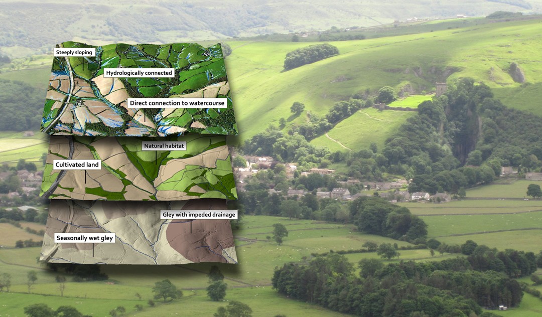
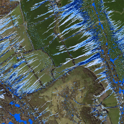
The 2-day Advanced course will build on the core GIS lessons by introducing some of the more advanced techniques in GIS. The subject areas covered in the advanced course include advanced creation and editing of spatial data; professional map production; complex spatial queries using selection, geoprocessing and spatial joins, and an introduction to raster-based spatial analysis techniques such as interpolation, density, topographical and hydrological analysis. The Advanced course also examines the use of spatial analysis techniques in suitability, priority and opportunity mapping for conservation strategy development. The course also includes a number of case studies, which illustrate the application of GIS in the environmental sector – these make the training relevant and ensure that trainees learn both the technical step-by-step methods for using GIS, but also develop their awareness of how GIS can be used.
Topics covered – Advanced data display techniques, spatial analyses with vector data, spatial analyses with raster data (using the spatial analyst extension), advanced data creation and editing, advanced map presentation.
Course Dates:
- Exeter – Click here to register
- Introductory Course (8-9 th May 2018)
- Advanced Course (10-11th May 2018)
- Leeds – Click here to register
- Introductory Course (2 – 3rd July 2018)
- Advanced Course (4-5th July 2018)
- Reading – Click here to register
-
- Introductory Course (9-10th October 2018)
- Advanced Course (11-12th October 2018)
-
Important Information:
- Each 2-day course costs £500+VAT (with a discounted price of £300+VAT for non-profits and students)
- Participants must bring their own laptops with ArcMap installed (v10.0 or later).
- The Advanced Course requires the Spatial Analyst extension, which is available with an Advanced ArcMap license. Get in touch if you are unsure whether you have this.
Further information:
If you have any questions, please email [email protected]
If you are interested in holding a bespoke event, then please contact Sarah by email [email protected] or call 01579 372140, to discuss the options.
Greetings,
is there any course schedule beginning of September as i’m planning to be in London within this time
Hello – sorry, we don’t have any GIS course planned at present. If you sign-up to our newsletter, they will be highlighted if/when taking place.