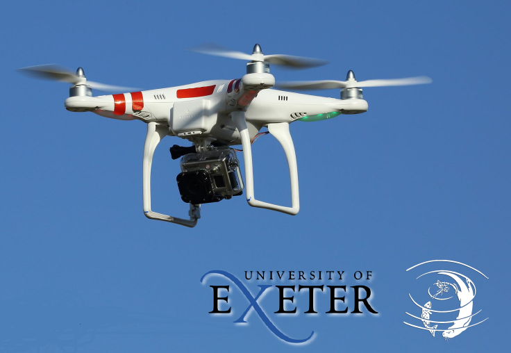
The Westcountry Rivers Trust has been working with the University of Exeter to trial rapid, low-cost remote sensing technologies.
A specially developed smartphone app offers a affordable way for environmental charities, such as WRT, to benefit from the use of a remote controlled drone and fine-grained Structure-from-Motion (SfM) photogrammetric modelling to build up high resolution, 3D imagery of the landscape.
We have been assessing the potential of this approach for targeting catchment management interventions designed to mitigate sources and pathways of diffuse agricultural pollution mobilisation at a farm/field scale.
The study has also examined the benefits of using this approach compared to the use of freely available topographic data obtained from Tellus SW LiDAR aerial survey (funded by NERC).